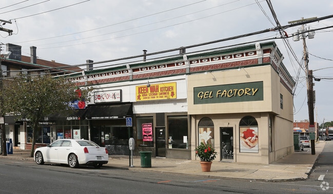
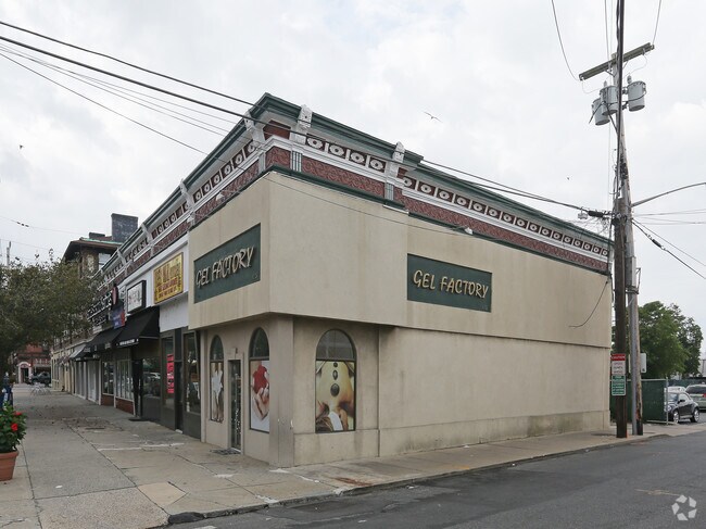
Property Record
115 Cedarhurst Ave, Cedarhurst, NY 11516
NEARBY LISTINGS FOR SALE OR LEASE
Property Detail
115 Cedarhurst Ave
2003-39-264-00-0017-0
TOWN #1 SCH DIST 015
Commercialnec
Nassau
X
New York
36059C0301G
17
2025
0.12 AC
2025
Southern Nassau
411200
Long Island (New York)
8,568 SF
Nassau County-Suffolk County, NY
DEMOGRAPHICS near 115 Cedarhurst Ave
1 Mile
3 Mile
5 Mile
2024 Total Population
23,017
162,004
439,798
2029 Population
22,677
155,075
419,692
Pop Growth 2024-2029
(1.48%)
(4.28%)
(4.57%)
Average Age
37
39
41
2024 Total Households
7,002
51,654
147,435
HH Growth 2024-2029
(1.47%)
(4.38%)
(4.63%)
Median Household Inc
$108,694
$90,458
$95,254
Avg Household Size
3.20
3.00
2.80
2024 Avg HH Vehicles
2.00
1.00
2.00
Median Home Value
$874,164
$725,916
$652,335
Median Year Built
1953
1957
1956
Nearby Places
Map Layers
Map Styles
 Street
 Aerial
- Restaurants
- Banks
- Shops
- Fitness
- Groceries
SALE & LEASE HISTORY
LISTING DATE
SALE/LEASE

Sep 25, 2016
For Lease
Apr 19, 2021
For Lease
Nearby Properties
Address
Land Use
TOTAL SIZE
Lot Size
Zoning
Address
Land Use
TOTAL SIZE
Lot Size
Zoning
111.98 AC
PARK
Address
Land Use
TOTAL SIZE
Lot Size
Zoning
182.50 AC
M1-1
Address
Land Use
TOTAL SIZE
Lot Size
Zoning
124.60 AC
M1-1
Address
Land Use
TOTAL SIZE
Lot Size
Zoning
52.80 AC
PARK
Address
Land Use
TOTAL SIZE
Lot Size
Zoning
188,656 SF
5.78 AC
R5
Address
Land Use
TOTAL SIZE
Lot Size
Zoning
27.23 AC
PARK
Address
Land Use
TOTAL SIZE
Lot Size
Zoning
64,618 SF
8.04 AC
Address
Land Use
TOTAL SIZE
Lot Size
Zoning
661,319 SF
50.43 AC
R5
Address
Land Use
TOTAL SIZE
Lot Size
Zoning
93.35 AC
PARK
Address
Land Use
TOTAL SIZE
Lot Size
Zoning
154,051 SF
4.05 AC
R5
Address
Land Use
TOTAL SIZE
Lot Size
Zoning
119,788 SF
3.90 AC
R5
Address
Land Use
TOTAL SIZE
Lot Size
Zoning
178,870 SF
7.60 AC
M1-1
Address
Land Use
TOTAL SIZE
Lot Size
Zoning
213,338 SF
2.91 AC
R3X
Address
Land Use
TOTAL SIZE
Lot Size
Zoning
449,000 SF
5.15 AC
R6
Address
Land Use
TOTAL SIZE
Lot Size
Zoning
155,875 SF
0.90 AC
R6
Address
Land Use
TOTAL SIZE
Lot Size
Zoning
6,077 SF
19.66 AC
PARK
Address
Land Use
TOTAL SIZE
Lot Size
Zoning
97,190 SF
1.75 AC
R3X
Address
Land Use
TOTAL SIZE
Lot Size
Zoning
77,576 SF
1.38 AC
R5
Address
Land Use
TOTAL SIZE
Lot Size
Zoning
141,782 SF
7.39 AC
M1-1
Address
Land Use
TOTAL SIZE
Lot Size
Zoning
14.58 AC
M1-1
Address
Land Use
TOTAL SIZE
Lot Size
Zoning
1,000 SF
27.14 AC
PARK
Address
Land Use
TOTAL SIZE
Lot Size
Zoning
163,623 SF
2.94 AC
R5
Address
Land Use
TOTAL SIZE
Lot Size
Zoning
4,000 SF
23.88 AC
PARK
Address
Land Use
TOTAL SIZE
Lot Size
Zoning
130,548 SF
0.74 AC
R6
Address
Land Use
TOTAL SIZE
Lot Size
Zoning
189,500 SF
2.87 AC
R6
Address
Land Use
TOTAL SIZE
Lot Size
Zoning
107,762 SF
5.23 AC
M1-1
Address
Land Use
TOTAL SIZE
Lot Size
Zoning
59,963 SF
1.55 AC
M1-1
Address
Land Use
TOTAL SIZE
Lot Size
Zoning
95,000 SF
2.31 AC
R4-1
Address
Land Use
TOTAL SIZE
Lot Size
Zoning
97,721 SF
5.18 AC
M1-1
Address
Land Use
TOTAL SIZE
Lot Size
Zoning
100,000 SF
3.16 AC
R1-2
The World's #1 Commercial Real Estate Marketplace
Connect with us
© 2025 CoStar Group
The information above has been obtained from sources believed reliable. While we do not doubt its accuracy we have not verified it and make no guarantee, warranty or representation about it. It is your responsibility to independently confirm its accuracy and completeness. Any projections, opinions, assumptions, or estimates used are for example only and do not represent the current or future performance of the property. The value of this transaction to you depends on tax and other factors which should be evaluated by your tax, financial, and legal advisors. You and your advisors should conduct a careful, independent investigation of the property to determine to your satisfaction the suitability of the property for your needs.